
Procurement
Procurement readiness refers to the demonstrated
ability of a small business to effectively participate
in the federal government contracting marketplace and
successfully perform contract work. This involves
understanding how to navigate the various procurement
set asides and how to respond to them. Aerial Optic
can assist with:
• Local & State Certifications
• Contract Review & Proposal
• Capability Statements
• Contract Searches
• Website Creation
Consulting
Aerial Optic can enhance your sustainable business
operations which will save agencies and organizations
financially while improving employee morale. Our
range of services include management consulting,
business process improvement, strategic planning,
paralegal service, customer services, and outreach.

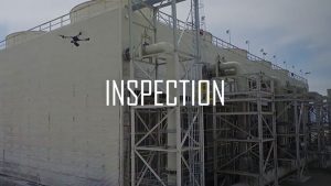
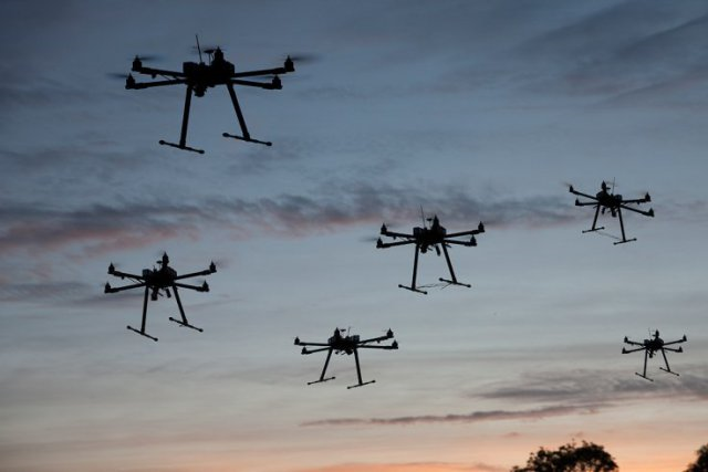
Inspection
Previously it was a common practice for workers to climb rooftops, bridges, and structures to conduct visual inspections. The use of Unmanned Aerial Systems (UAS) eliminates the risk of human injury.
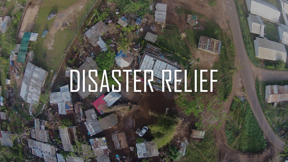
Accountability
In the event of natural disasters, deployment of Unmanned Aerial Systems (UAS) is critical. Providing aerial 3D mapping and terrain data in areas with no roads and environmental
challenges is a necessity.
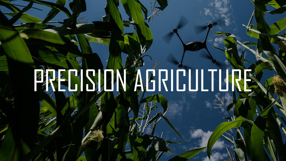
Agriculture
Being able to assess acres of crops have never been so easy with 3D terrain mapping. Some Unmanned Aerial Systems (UAS) are equipped with electro-optic/infrared gimbaled imagery which has capabilities to monitor both plant size and leaf count.
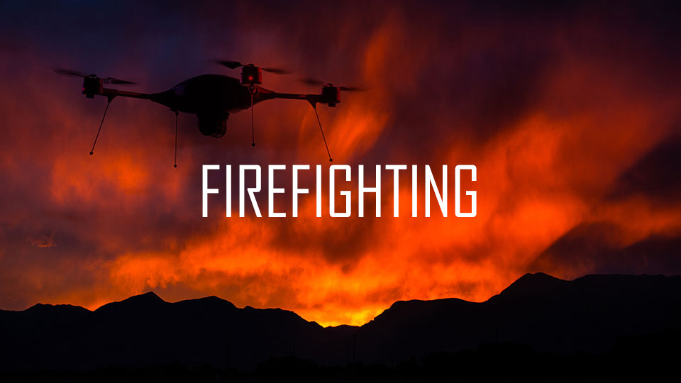
Emergency Services
Equipped with thermal sensors, some Unmanned Aerial Systems (UAS) are capable of assisting firefights operations which include the following: Identifying Hotspots, Provide information on areas where people and property are at risk.
Aerial Surveillance
Stationary video cameras have limitations. Aerial surveillances not only deters criminal activity, it captures those who still believe they have an opportunity to flee.
Pilot Training (UAS)
Classes include:
•Basic Introduction to Drones
•Flight Rules and Regulations
•Classroom and Field Flight Training using (UAS) Platforms
•Airspace Management
•Flight Restrictions
•Emergency Landing and Awareness
•GPS Off Awareness and Situation Review
•Simulator Test
•Custom Sessions Available for Business and Government
Real Estate
Offering a wide range of photographic techniques and services, we provide the best possible views of your property. Our aerial photographs provide an impressive view of your property. On a custom aerial photo shoot, we can tailor the flight to suit your requirements. High altitude photographs include more of the surrounding area, while low altitude photos provide close-in shots of individual buildings.
First Response
Lives are at stake when in comes to Emergency Responders. Time is critical during first response operations such as accidents.
Case Studies show that Unmanned Aerial Systems (UAS) assists with extending the eyes of emergency services in all situations.
Construction/Engineering 3D Mapping
Aerial photography is essential for both documenting and
monitoring the construction progress. We capture all
views necessary for your project. Data acquisition via
photogrammetry and could point technologies, make it
possible to use data as a guide to build true interactive
3D environments. This is helpful where old structures
need remedial work or are being upgraded and
there is no design drawings available.
Precision Inspection
(UAS) Thermal imaging services including HD images
and videos. This is an non-invasive tool that identifies
problem location, measures temperatures, detects
what needs to be fixed and which saves you both time
and money through the detection of 'findings' before
real problems occur.
Get a Quote
Call or email to get a quote.